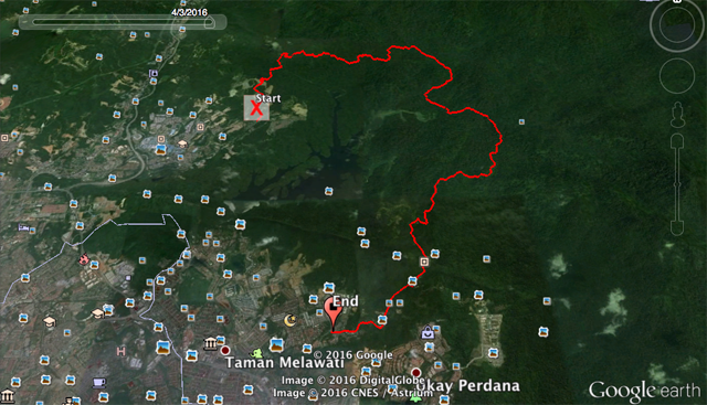
Recently invited by friends to explore this Ulu Gombak trail. The trail head start from Sg Pusu Gombak and finish at Kemensah, Melawati.
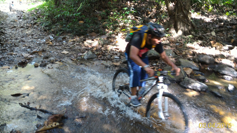
Distance about 22KM up and down hill. With few river crossing. I can say this one of enjoyable and easy ride. I dont mind to revisit this trail again.
Fact about the trial.
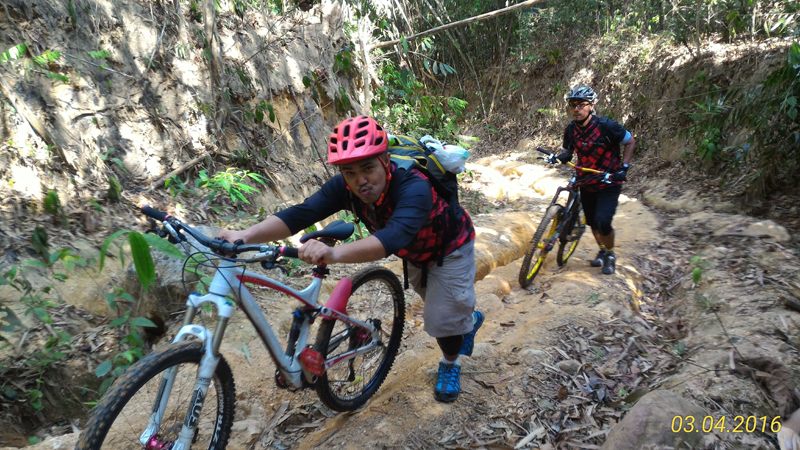
Distance : Approximately 22KMUphill section : Mostly is climbable. due to heavy rain the water drain formed. Kind of tricky to maneuver the bike. Push is much easier.
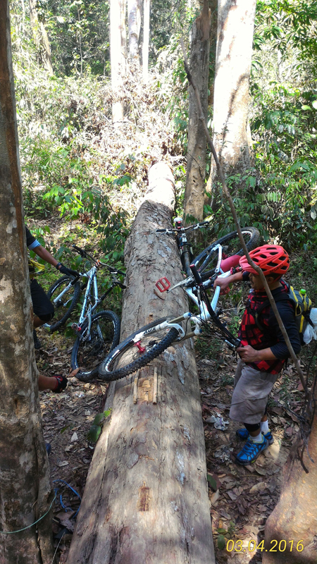
Downhill section : Not so much technical. But still must be very careful with water drain. Can easily endo if slip into it.. Some part have fallen bamboo tree which some of it near the trail. One friend accidentally hit the fallen bamboo and got cut on the hand.
Thing to bring : As usual water, water, water. 2L-3L water should be sufficient(it hot season now) but if you dont mind to drink from the river. Just bring empty bottle should be ok.
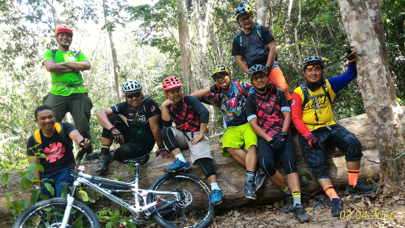
Maybe food too. We end up having lunch in the middle of the trail.
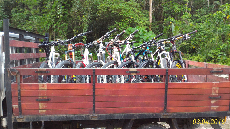
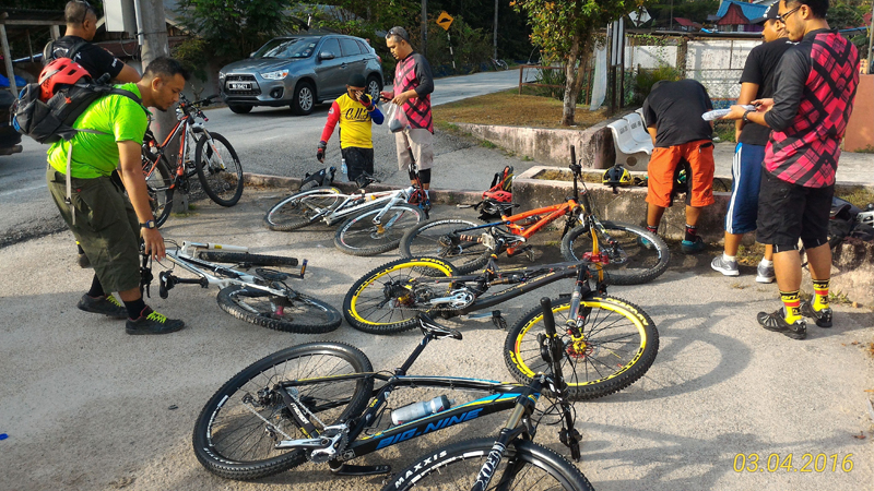
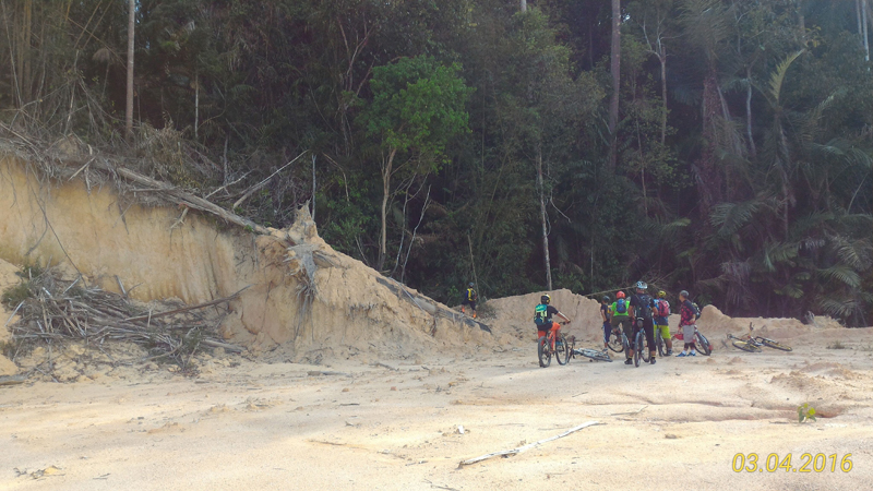
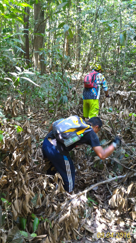
Below some photo we manage to took during the ride (thanks umar for the photo)